Our Services

Mapping
Drone mapping can be used to generate orthomosaics and digital elevation models which in turn can be used for surveying and cartography, land management, urban planning, and for distance measurements..

Consulting
Are you interested in buying a drone or starting a drone program? UAVistas offers consulting services and can help you integrate UAVs (unmanned aerial vehicles) into your projects providing a safer, more efficient workflow.

Photography
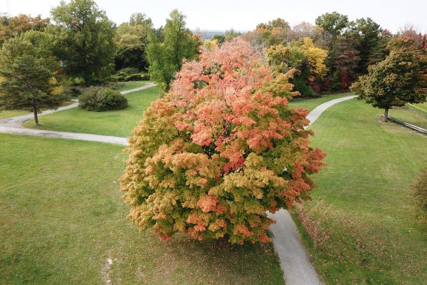
Aerial imagery can be used to monitor construction sites, advertise beautiful landscaping, enhance real estate listings, evaluate natural areas, and a lot more. HD and 4k images and video can provide a holistic view of a wide range of projects.

Conservation
We at UAVistas are passionate about protecting and restoring natural areas. Overviews of restoration areas, problem areas ridden with invasive plants, and the progress of sustainability projects can all be easily assessed from aerial imagery and orthophotos generated from mapping flights.

Inspections
UAVistas provides inspection services for roofs, towers, buildings, homes, and other structures. Inspection by drone can save time and reduce the number of safety-related incidents.

Community Outreach
UAVistas is committed to increasing interest in STEM, especially among women and girls and underserved student populations. Feel free to contact us about any inquiries you have regarding workshops, talks, demos, or the like.

